At Gibson Drone Services, we provide FAA Part 107-certified, insured aerial inspections tailored to the demanding needs of the oil & gas industry. Using our state-of-the-art DJI Matrice 350 RTK, Zenmuse P1, and H30T payloads, we help upstream, midstream, and downstream operators improve safety, reduce costs, and increase data accuracy — fast.
Dedicated to innovation and utilizing the latest in cutting-edge technology.
Dedicated to innovation and utilizing the latest in cutting-edge technology.
Our Services

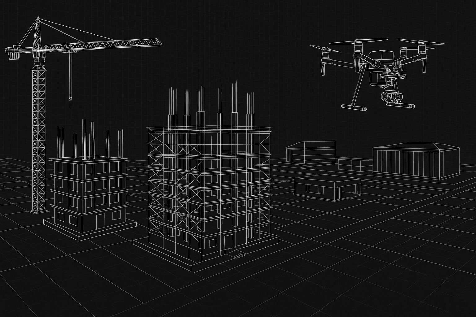
We provide routine 2D and 3D construction progress mapping using advanced photogrammetry, enabling accurate volume calculations, earthwork modeling, and digital twin creation. Our GCP-enabled workflows ensure precise, reliable data to support informed planning and reporting throughout the project lifecycle.
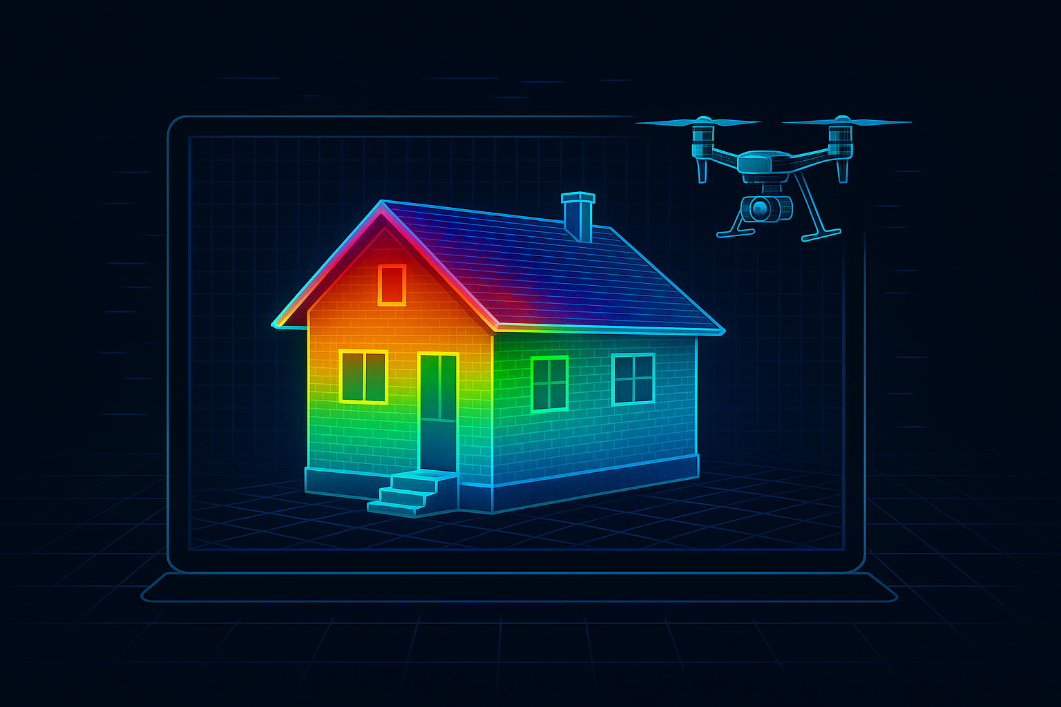
We deliver high-accuracy drone solutions for residential, commercial, and industrial clients, combining cutting-edge photogrammetry, LiDAR, and survey-grade mapping to meet your project’s unique demands.

We provide thermal and visual aerial inspections for pipelines, electrical lines, and tank farms. Our drone systems identify faults, hotspots, and structural risks—improving safety and reducing downtime.
More about
our brand
Our Expertise Across Sectors
- Residential: Property surveys, roof inspections, and real estate marketing with 2D/3D visual models (photogrammetry).
- Commercial: Construction progress tracking, site planning, and volumetric measurements using RTK-corrected drones and GCPs.
- Industrial:
- Oil & Gas: Pipeline corridor mapping, flare stack inspections, and tank farm volumetric analysis with LiDAR (for vegetation penetration) and thermal imaging.
- Mining/Utilities: Stockpile measurements, terrain modeling, and asset inspections with fused photogrammetry + LiDAR datasets.
Technology Tailored to Your Needs
- Photogrammetry: Cost-effective 3D models and orthomosaics for permits, design, or marketing (e.g., residential developments, commercial sites).
- LiDAR: Penetrates foliage and captures sub-inch elevation data for industrial sites, pipelines, or flood risk assessments.
- Survey-Grade Accuracy:RTK drones or ground control (GCPs) for boundary surveys, as-built documentation, and compliance reports.
Not sure which method fits your project? We’ll recommend the optimal approach—whether it’s standalone LiDAR for an oilfield survey or hybrid photogrammetry+RTK for a subdivision plat.
- Why Clients Choose Us for Oil & Gas
- Regulatory Compliance: Our surveys meet API/OSHA standards for pipeline integrity and safety.
- Challenging Terrain: LiDAR excels in remote or vegetated areas (e.g., right-of-way inspections).
- Cost Savings: Replace manned aircraft or ground crews with faster, safer drone data.

Follow us on social


Contact Us
Interested in working together? Fill out some info and we will be in touch shortly. We can’t wait to hear from you!